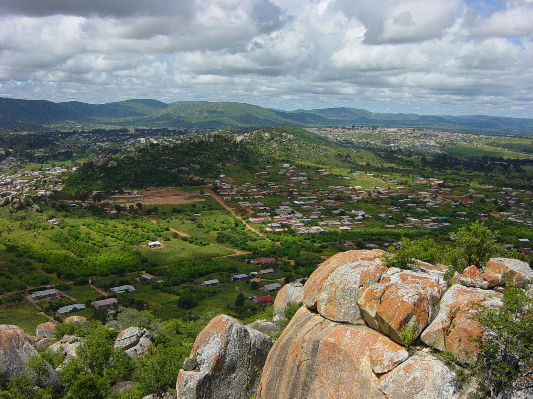
A town on a ridge
Iringa is the capital of Iringa Region and sits on a ridge in the Southern Highlands of Tanzania, at about 1,500 to 1,600 metres above sea level. The height makes a difference. Days are usually mild and evenings can be cool, especially in the middle of the year, which is a change from the heat of the lowland park. Pack a warm layer.
The ridge falls away steeply on several sides, and the views over the surrounding valleys and hills give the town much of its character. The countryside around it is farmland, with maize, vegetables and timber plantations on the higher ground.
The town lies on the Tanzam highway, the main road that runs from Dar es Salaam through the Southern Highlands to Mbeya and on toward Zambia. For many visitors heading to Ruaha National Park by road, Iringa is the last large town before the bush.
What to see in town
Iringa has a number of buildings from the German colonial period, when it was an administrative centre, and a mix of later buildings from the British era and after. The central market is busy and colourful, with fruit, vegetables, dried fish, spices, cloth and household goods. It is a good place to walk slowly and buy supplies for the road.
ALSO IN THIS GUIDEThe Usangu plains and the Ihefu swampOn the edge of town is Gangilonga rock, a large outcrop whose name is usually given as "talking stone". Local tradition says that Chief Mkwawa of the Hehe came here to meet his advisers and think through plans. From the top you get a wide view over the town and the surrounding hills.
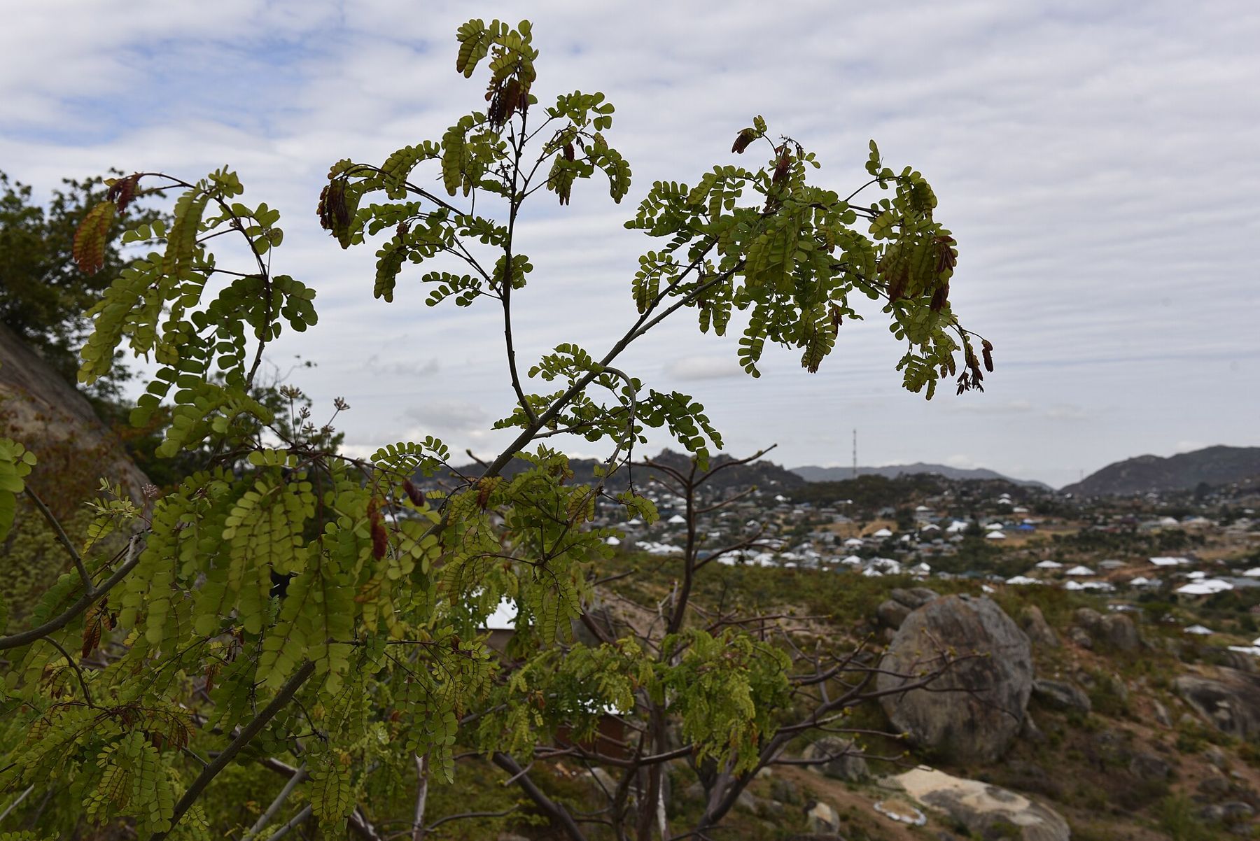
Short trips from town
Two historic places lie close to Iringa. Kalenga, about 15 km away, was Mkwawa's stronghold and now has a small museum dedicated to him. Isimila, about 20 km south-west off the Mbeya road, is a gully of eroded sandstone pillars where ancient stone tools were found. Both make a good half day before or after the park.
The road to Ruaha
The road to the park runs west from Iringa for about 120 to 130 km. Part of it is unpaved, and the drive takes around three hours, though the time varies with the season, the state of the road and the vehicle. In the rains, sections can become difficult. Fuel up and carry water and food in Iringa, as there are few reliable supplies on the way.
Leave early if you can. The light is softer, the road is quieter, and you arrive at the park with more of the day left for the first drive. Driving inside the park after dark is not allowed for general visitors, so plan to reach your night stop in good time.
Malaria is present in the region and tsetse flies are found in the park woodland.
Photographers and licences are listed on whose pictures these are.